ZOOM
BUILDING A INTERNATIONAL PUBLISHING PLATFORM FOR ZOOM
- Zoom blog redesign

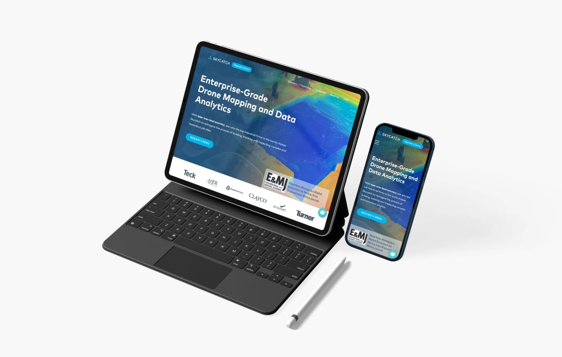
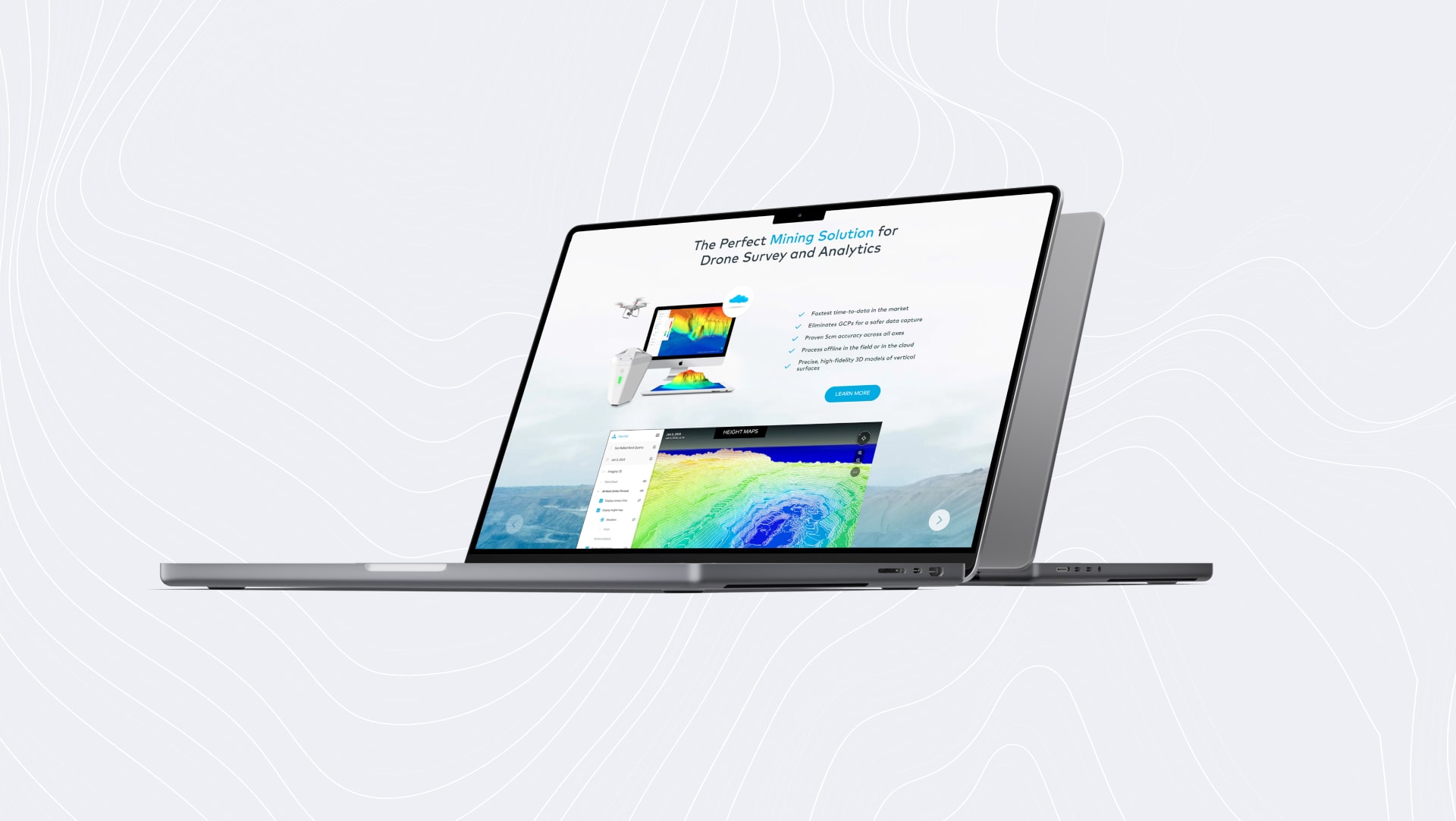
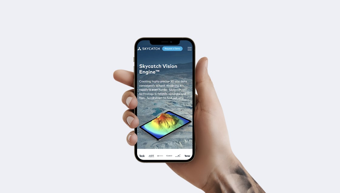
Skycatch is a drone image processing company for the construction, mining and energy industry or for anyone who needs to survey land from above. The venture capital-backed San Francisco startup has a super cool idea and is on the bleeding edge of drone image processing technology. The company sells commercial drones to map and model areas and then they help to process the data in the cloud for its large customer base.
Skycatch didn't have the in-house WordPress resources to create their customer-facing website since all their engineers were working on their core technology. While we don't normally build marketing and informational sites like this and focus on more complex software development, we decided to work with Skycatch since they were based in San Francisco and were working on very cool technology.
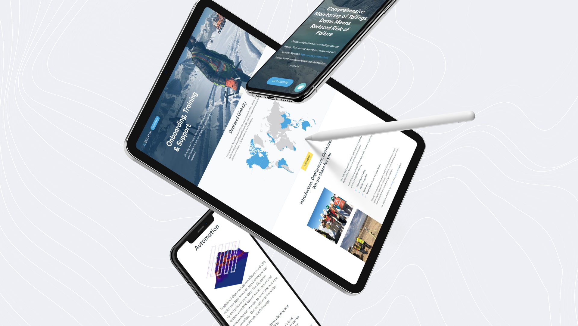
The team at Skycatch demanded a "pixel-perfect" responsive site to show off their latest projects and products so they came to us to build a site that would delight their customers and visitors.
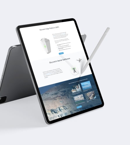
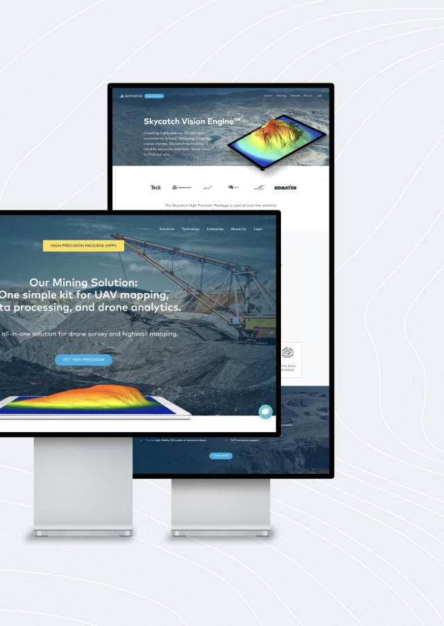
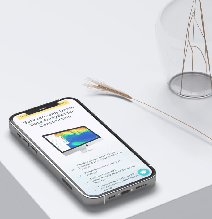
We built Skycatch a fully customizable, responsive WordPress website that included a number of custom plugins and the ability to purchase drones from the site that met their "pixel perfect" requirements.
The client was incredibly satisfied with the WordPress design and development work that was accomplished by the Spiral Scout team of experts.
At Spiral Scout, we believe that when it comes to software development and delivery, it’s time for a change.